


Mapping the Medieval Countryside is a major research project dedicated to creating a digital edition of the medieval English inquisitions post mortem (IPMs) from c. 1236 to 1509. New book offers fascinating glimpses of what the IPMs can tell.
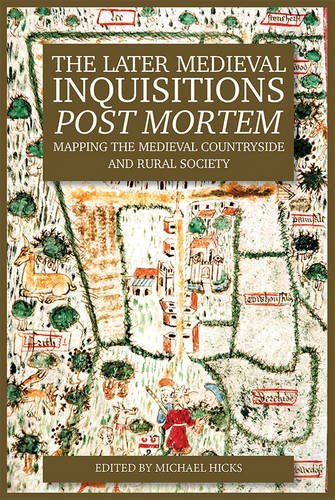
Ed by Michael Hicks (Author)
Boydell and Brewer (25 July 2016)
ISBN-10: 1783270799
ISBN-13: 978-1783270798
Whenever land held by a tenant-in-chief of the crown died, a formal inquiry was made into the land offering a survey or description of the property. Mapping the Medieval Countryside is a major research project dedicated to creating a digital edition of these medieval English inquisitions post mortem (IPMs) from c. 1236 to 1509. The project aims to offer transcriptions of the sources themselves as well as the calendars or lists with summaries of the inquisitions, which were published between 1898 and 2010. To this will be added further information about people and places. Also, a number of studies are being carried out by the researchers, who also feed a blog, where the scholars dig into the vast material and offers fascinating glimpses of what the material might offer.
The site is currently in a beta phase: it includes IPMs from 1418 -1447 only, and aspects of the markup and indexing are still incomplete. An update later this year will make further material available.
As is proper, the project also organises a yearly conference. This July (2016) Boydell and Brewer will publish the proceedings from the latest conference in. The book showcases recent work on the Inquisitions post mortem (IPMs): a truly wonderful – though under appreciated – source for many different aspects of late medieval countryside and rural life. The thirteen chapters explore IPMs in different parts of Britain, the landscape and topography of England, in particular markets and fairs and mills, and the utility of proofs of age for everyday life on such topics as the Church, retaining, and the wine trade.
Table of Contents
- Introduction – Michael Hicks
- Records of an Imperial Administration? IPMs in Scotland and Calais – Gordon McKelvie, Reviews Editor
- Inquisitions Post Mortem in Medieval Ireland – Paul Dryburgh
- The Court of the Honour of Clare, 1308-1360: Feudal Incidents and Inquisitions – Jennifer C Ward
- Landscape, Farming and Society in an English Region: the Inquisitions Post Mortem for the West Midlands, 1250-1509 – Christopher Dyer
- Beyond the Dots: Mapping Meaning in the Later Medieval Landscape – Stephen Mileson
- Fairs and Markets in the Inquisitions Post Mortem – Matthew Holford
- The Structure of the Milling Industry 1427-37 – Matthew Tompkins
- Proofs of Age 1246 to 1430: their Nature, Veracity and Use as Sources – William Deller
- What went on in the Medieval Parish Church 1377-1447, with particular reference to Churching – Katie Clarke
- Retainers, Monks and Wine: Three Insights into Everyday Life – Michael Hicks
- The Administration and Efficiency of the Inquisitions Post Mortem Process. A Case Study of
- Northumberland – Janette Garrett
- Late Medieval Land Disputes and the Manipulation of the Inquisitions Post Mortem – Simon J. Payling
About the Author and Contributors:
The team led by Professor Michael Hicks, University of Winchester is presented here.
The Later-Medieval Inquisitions Post Mortem: Mapping the Medieval Countryside and Medieval Society is the product of collaboration between the University of Winchester, the Department for Digital Humanities at King’s College London, and the Arts and Humanities Research Council, which funded the parent project, and the Boydell Press (publisher).
READ MORE:
Inquisitions post mortem – Mapping the Medieval Countryside
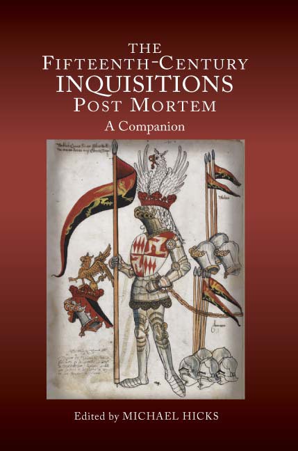
A Companion
Edited by Michael Hicks
The Inquisitions Post Mortem (IPMs) at the National Archives have been described as the single most important source for the study of landed society in later medieval England. Inquisitions were local enquiries into the lands held by people of some status, in order to discover whatever income and rights were due to the crown on their death, and provide details both of the lands themselves and whoever held them. This book explores in detail for the first time the potential of IPMs as sources for economic, social and political history over the long fifteenth century, the period covered by this Companion. It looks at how they were made, how they were used, and their “accuracy”, and develops our understanding of a source that is too often taken for granted; it answers questions such as what they sought to do, how they were compiled, and how reliable they are, while also exploring how they can best be used for economic, demographic, place-name, estate and other kinds of study.
Michael Hicks is Professor of Medieval History, University of Winchester.
Contributors: Michael Hicks, Christine Carpenter, Kate Parkin, Christopher Dyer, Matthew Holford, Margaret Yates, L.R. Poos, J. Oeppen, R.M. Smith, Sean Cunningham, Claire Noble, Matthew Holford, Oliver Padel.
FEATURED PHOTO:
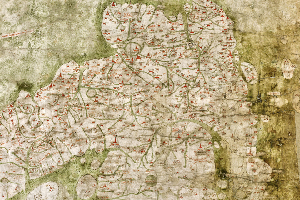
The Gough Map of England ca. 1300 – detail. Source_ Wikipediea


