The English Village is both a reality and a romantic dream. But what were the roots of these nucleated settlements?
When did villages emerge in the English landscape? And not least why? These are the questions, which for some years have occupied an interdisciplinary group of scholars working on a piece of micro-history in a small and rather anonymous village in Somerset: Shapwick near Glastonbury Abbey.
The project, which was first discussed in 1987 – 88, aimed to uncover the actual changes which landscape, settlements and habitations underwent from the earliest traces of humans could be detected and into the 21st century. The results of the many diverse pieces of the puzzle have of course been published in learned journals. However a very thorough and careful presentation of the results of the overall project have been copiously published at Oxbow.
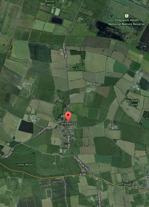
It may perhaps not always be easy to follow all the arguments through as they are presented in this rather dense book. For instance it takes some time to get a feeling for the orientation of photos where no points of compass are given. Neither is it immediately obvious what the actual natural features of the place were – in prehistory as well as in later times. For instance, where were the necessary medieval meadows located? (answer: to the North at Shapwick Heath); and from where did the peasants get the necessary water? This information can be located in the book, but it is not presented in a very accessible manner. One example may be found on page 83 where the same signature is used in a map for both roads and streams. The present reviewer had to stop at this point in order to locate the site on google map in order to get a proper sense of place before continuing!
Nevertheless it definitely pays to read on, perusing the many and detailed explorations of the development of the site through history.
The results are that the place – located between the Polden Hills to the South and the river Brue to the North – was found to be inhabited continuously from 10.000 BC to the 21st century. And that the landscape continued to present a dispersed pattern of settlement up until nucleation took place in the later Middle Ages and probably some time in the 10th century. The evidence for this is primarily the distribution of the many shards of pottery the archaeologists were able to recover through their extensive field-surveys. At this point a total reorganisation of the settlement took place whereby the elongated village replaced the former habitations consisting of dispersed farms (with their probable infield-outfield systems). What seems apparent is that this change took place before the conquest, but after the shift from royal into monastic lordship in the 8th century. It must also have taken place after the construction of the old church, which lies somewhat to the East and apart from the new village. Had the village been planned and created before the building of the church, it would be expected to have been located in the village itself. The authors present a hypothesis that the nucleation – the regular planning and building of the village of Shapwick took place in the 10th century and perhaps more precisely between 947 – 957, when Glastonbury Abbey was refounded under Abbot Dunstan and as part of the Benedictine revival, he was one of the instigators of.
As to the why, the present book imagines it as a process, which started with a minor (and more organic) nucleation taking place around mid 9th century around the old church and fostered by the need for the peasants to collaborate about hedging and fallowing. At some point (say 947) a revolution took place whereby the old system with intensive/extensive infield/outfield system was substituted by a relocation of the village to the new site. Here the new distribution of land could easily be “read” as a living document of rent and status plus it facilitated a new organisation of the arable land into an open-field system lying behind the village. Decidedly unusual, the authors call the layout in their conclusion (p. 371). However, this is where we finally learn that the village was constructed with a “spinal watercourse” and with roads running parallel from East to West. At which point it becomes obvious that the water as usual was the deciding factor when understanding the location of settlements and habitations, while the roads were necessary to access the fields lying on the slopes behind.
 This explanation is not particularly favoured by the authors. They tentatively propose (p. 372) an explanation where the design was “heavenly conceived” as mirroring the ladder of Jacob and with angles moving up and down. Of course the proposal is put forward with a proper caveat. The design cannot be seen except from the sky and further: why should the monks create a visual image of a ladder so to speak lying on the ground?
Hmn… I must confess the explanation of the reorganisation of the farmland into an open-field system fostered by a combination of growing population pressure and a wish for the expansion of profit by both lords and tenants created the need for a nucleation. As to location of the village, it seems reasonable to pinpoint that the need to have ready access to running water was behind the final lay-out. No bailiff nor lord nor peasant could afford to choose a location, which carried an extra work-load (heavenly inspired or not). This means the old dictum still stands that water was and is the decisive factor .
The book about Shapwick demands a meticulous effort, but is in the end immensely inspiring and stimulating. Well worth a read.
Karen Schousboe
Interpreting the English Village. Landscape and Community at Shapwick, Somerset.
By Mick Ashton and Chris Gerard.
Windgather Press and Oxbow Books, Oxford 2013
ISBN: 978-1-905119-45-5
The book recently received an award for being The Best Archaeological Book 2014
Featured Photo:
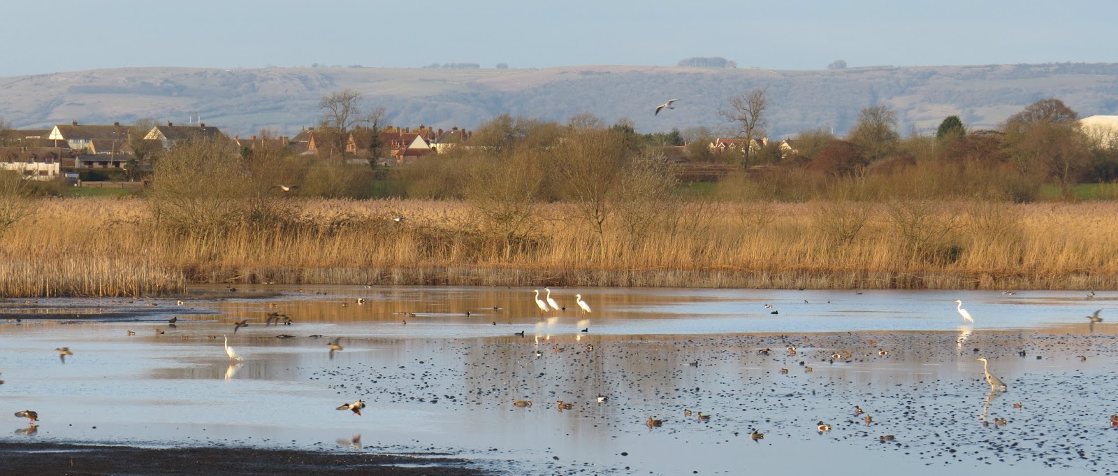
Last year White Egrets began once again to nest at Shapwick Heath © Photo by Graham Clarkson from Birding and Beyond…