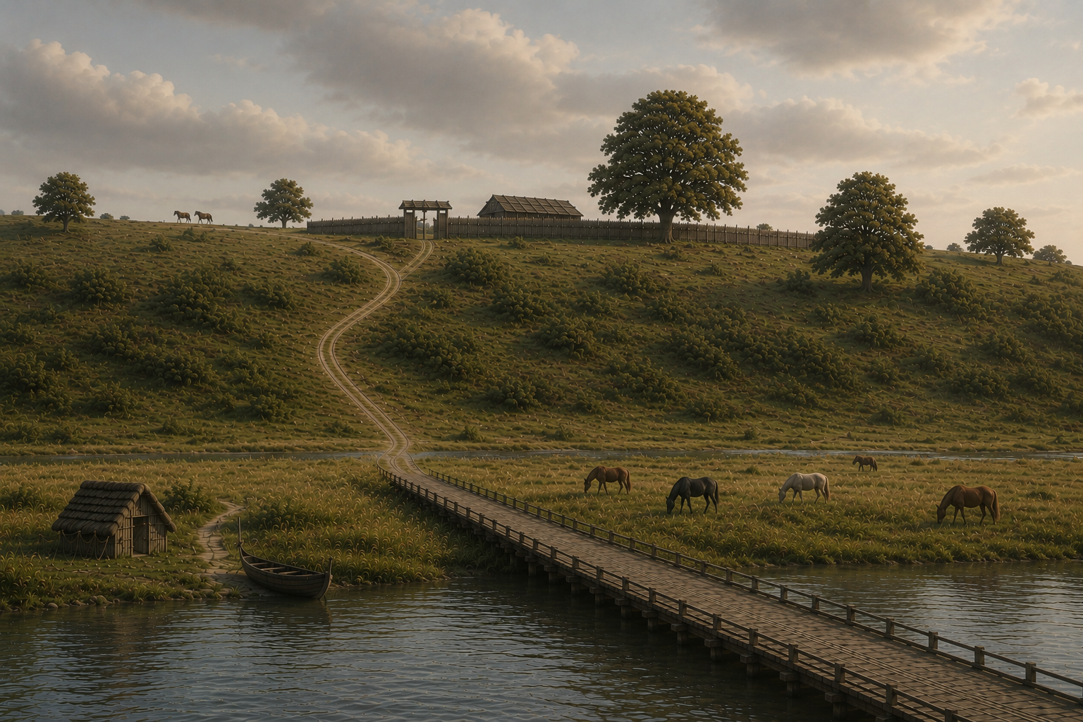
A thousand years ago, Lisbjerg, just north of Aarhus, was home to one of the king’s powerful officials, Ketil the Norman. To understand his world, we must first imagine the landscape in which he lived and exercised his authority.
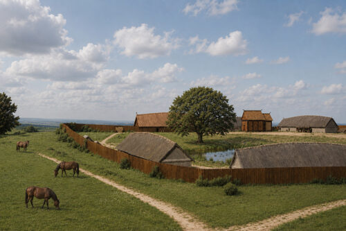
Today, that landscape is not immediately apparent. The medieval church at Lisbjerg no longer dominates its surroundings. Instead, the ancient setting is hemmed in by manufacturing plants, a biogas facility, roads, and modern infrastructure. The village itself has expanded dramatically, its suburban sprawl engulfing what, only a few decades ago, remained a remarkably traditional Danish settlement.
Yet the older landscape has not entirely vanished. It survives in the place name itself.
A careful reading of Lisbjerg offers a glimpse of the countryside as Ketil would have known it. He lived on the Bjerg — the hill — while below it stretched the grass-covered, brushy Li or Lide: the long, sloping hillside descending towards the broad valley and the waters beyond.
The word is known in Old High German as hlīta, in Proto-Germanic as hlīdō, and ultimately derives from the Indo-European ḱleytéh₂, meaning something that leans or inclines. In English, it survives in the Old English hlið and in its Old Norse cognate hlíð (plural hlíðar). In Danish, the word appears as Li, Lid, or Lide.
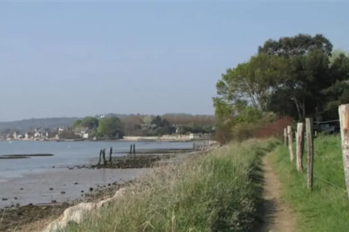
Lith is therefore one of those beautiful West Germanic words that gradually disappeared from everyday speech during the later Middle Ages. It nevertheless survives fossilised in place names such as Hanlith and Upleatham in Yorkshire, as well as Le Ly near Quettehou in Normandy, literally the Lith near Ketil. Across Scandinavia and the wider Norse world, the term was—and in many places still is—remarkably common. Everywhere, its meaning is much the same: a slope, an incline, a ravine, or simply the side of a steep hill.
The Danish landscape preserves the word in numerous place names, almost invariably describing striking topographical features. One example is Lien in northern Jutland, where a dramatic escarpment rises above the foreland and beaches along Jammerbugt. Perhaps slightly less dramatic, Lisbjerg belongs to the same family of landscapes. Here, a broad hilltop plateau commands a long descending slope leading down to the River Egå, which, a thousand years ago, formed the brackish inner reaches of a shallow fjord.
Once this is recognised, the landscape begins to reveal itself. Modern contour maps still preserve its essential form. What they cannot show, though, is the world that has disappeared: the motorway erased, the river restored to its Viking Age course, and the suburban estates replaced by open grazing, scattered woodland, and brush-covered slopes.
With a little imagination, however, Ketil’s landscape and not least the setting for his Elite Hall emerges once more. The name Lisbjerg is no longer merely a place on a map; it becomes a remarkably precise description of the world as people experienced it a thousand years ago. And a landscape, which we can delve into through the archaeology and art history.
Featured Photo
Getting AI to reconstruct a landscape is a rather daunting project. This is just a suggestion as the slope of the lith is too foreshortened. The distance from the present day church to the river is approximately a 1000 m, while the hill towered ca. 70 meters above the sea-level. There may have been a village or craft production centre below near the river, but that has not been documented archaeologically. However, the reconstruction does provide a sense of the dominant position on the Viking Hall controlling the major road leading north from the river which must have turned into an estuary approximately here. Likely, there was a bridge across the river; perhaps in the same league a the famous Ravningbro down by Jelling?
READ MORE: