What did Paris sound like in the lifetime of Nicolas Flamel (c. 1330–1418)? As part of its exhibition Nicolas Flamel, alchimiste de papier, the Musée de Cluny invites visitors to explore the musical world of this wealthy Parisian bourgeois
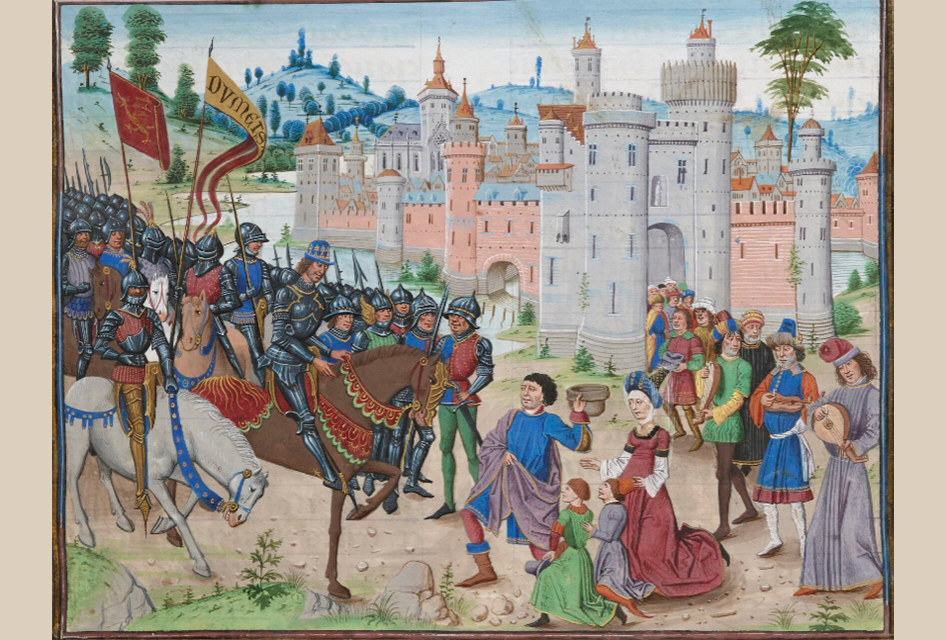
What did Paris sound like in the lifetime of Nicolas Flamel (c. 1330–1418)? As part of its exhibition Nicolas Flamel, alchimiste de papier, the Musée de Cluny invites visitors to explore the musical world of this wealthy Parisian bourgeois
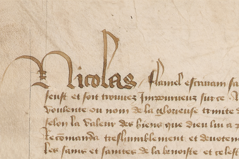
Nicolas Flamel, was a very wealthy Parisian slumlord making his living from renting out rooms and apartments in houses build on the right side of the Seine in the fourteenth and fifteenth centuries. Upon his death, he donated his entire wealth to churches and hospitals to atone for his sins.
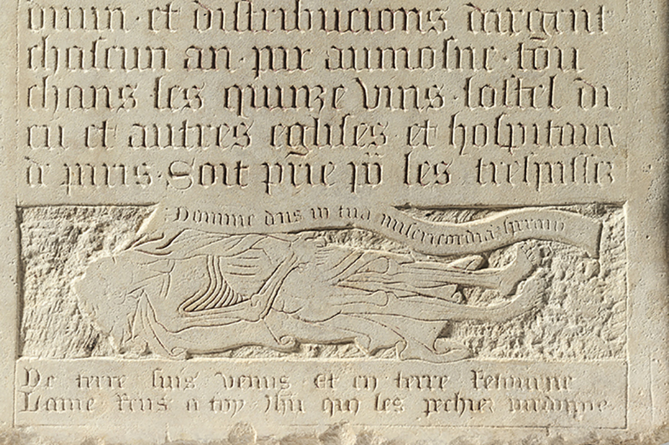
How did a wealthy Parisian property investor and benefactor become one of the most famous alchemists in history? A new exhibition at the Musée de Cluny in Paris explores this extraordinary transformation of Nicolas Flamel
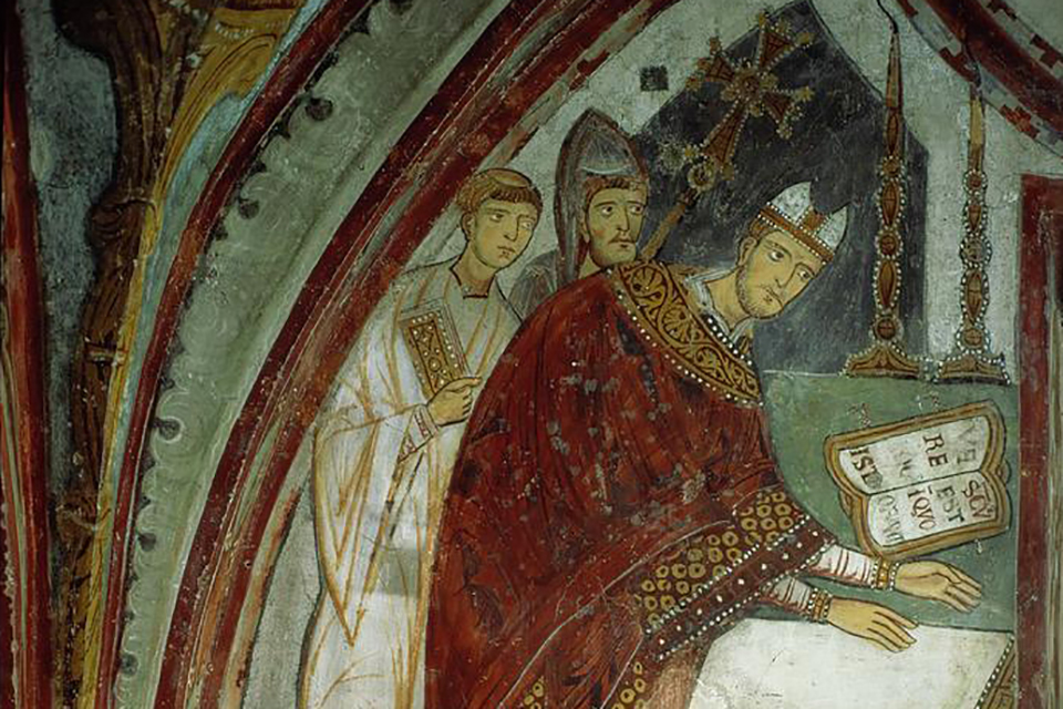
From bodily performance to sacred image: how the living Francis of Assisi was transformed after his death through memory, hagiography and visual culture.
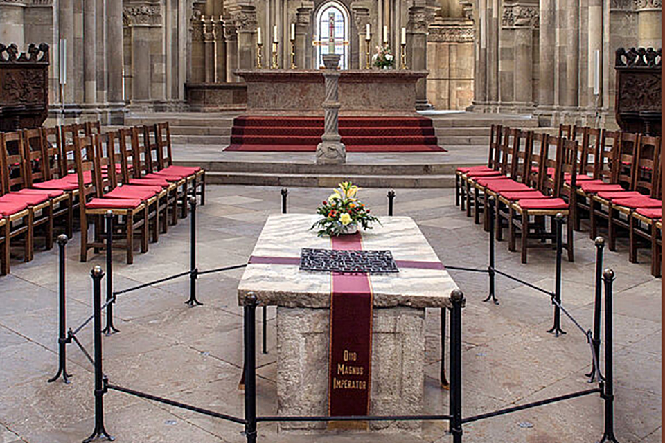
In January 2025, a major programme of conservation and research began on the tomb of Otto the Great in Magdeburg Cathedral as serious deterioration had been discovered

Not only do we possess what is likely an eyewitness account from AD 973 of the death of Emperor Otto the Great, but recent studies of his remains might fit the description.
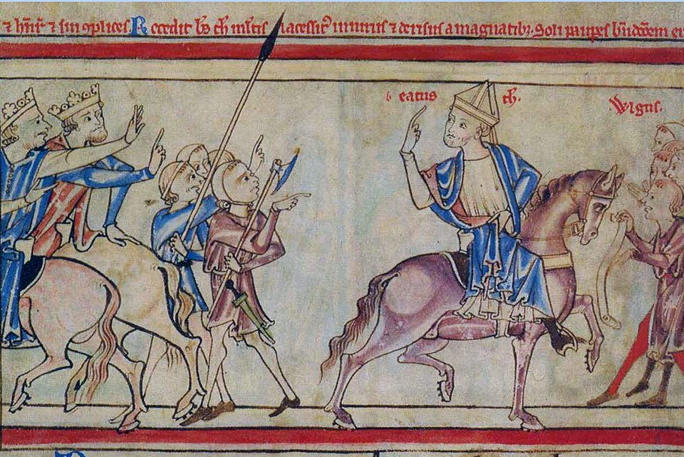
How did medieval rulership over multiple kingdoms and lordships work out? A new book explores the political, but also the practical, challenges of rulership in the fluid territorial reality of the 13th century, while floating a new concept: “transregnal”. What might this mean?
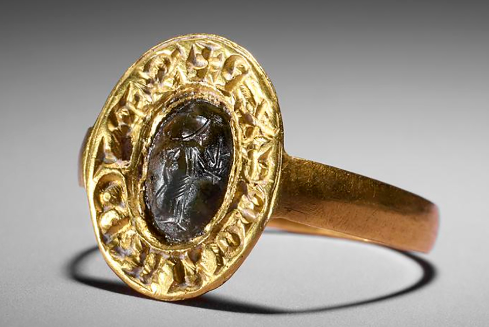
New book on the Angevin World circumvent a touchy English question. Was there ever an "Angevin Empire"?
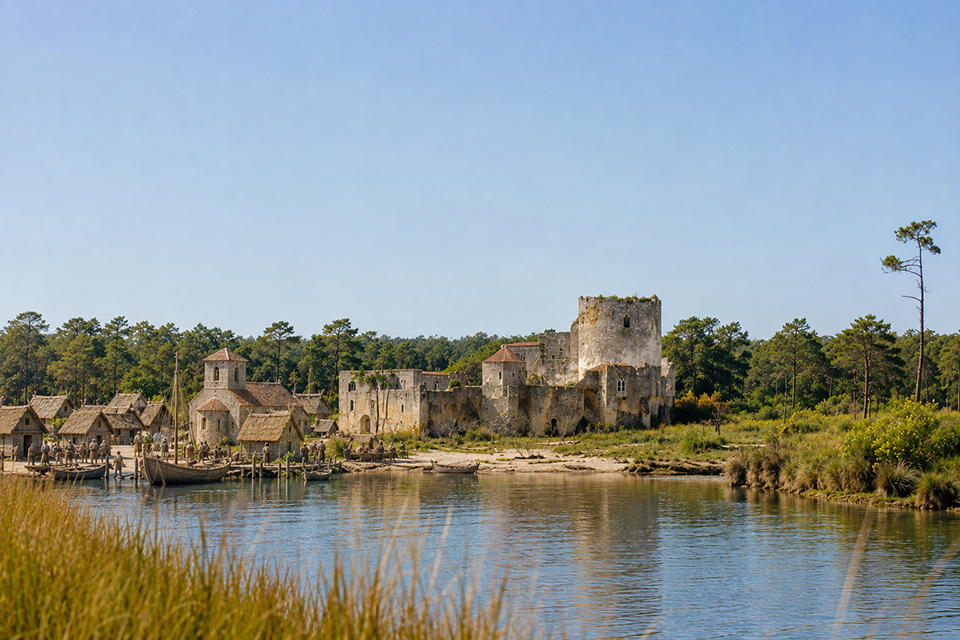
At the head of the Bay of Arcachon, west of Bordeaux, lies the small town of Lège, nestled within a nature reserve that still preserves something of the landscape that characterised this corner of the Atlantic coast in the Middle Ages
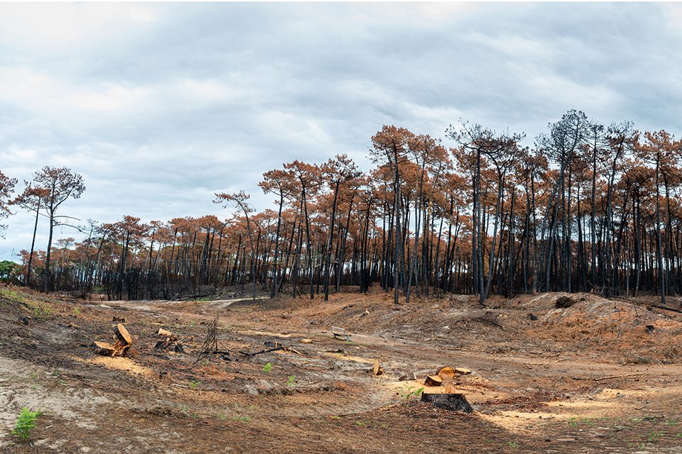
Are the devastating wildfires of this summer the result of the shifting climate? Of human greed and stupidity? Or simply of a decline in extensive husbandry and pastoralism?

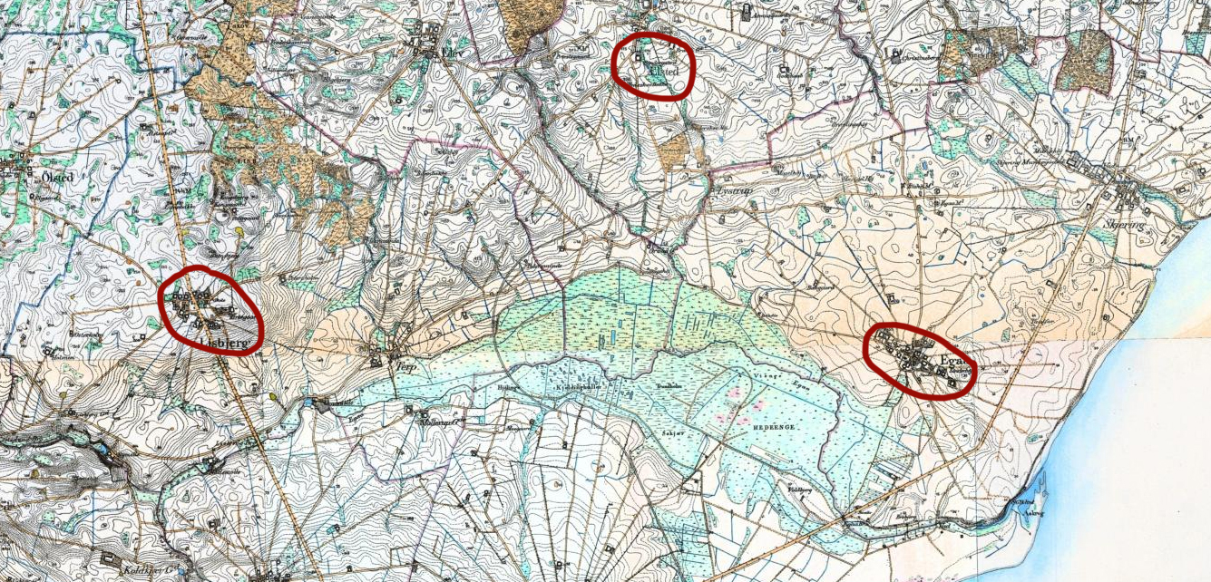
A thousand years ago, Lisbjerg, just north of Aarhus, was home to one of the king's powerful officials, Ketil the Norman. To understand his world, we must first imagine the landscape in which he lived, travelled, and exercised his authority.
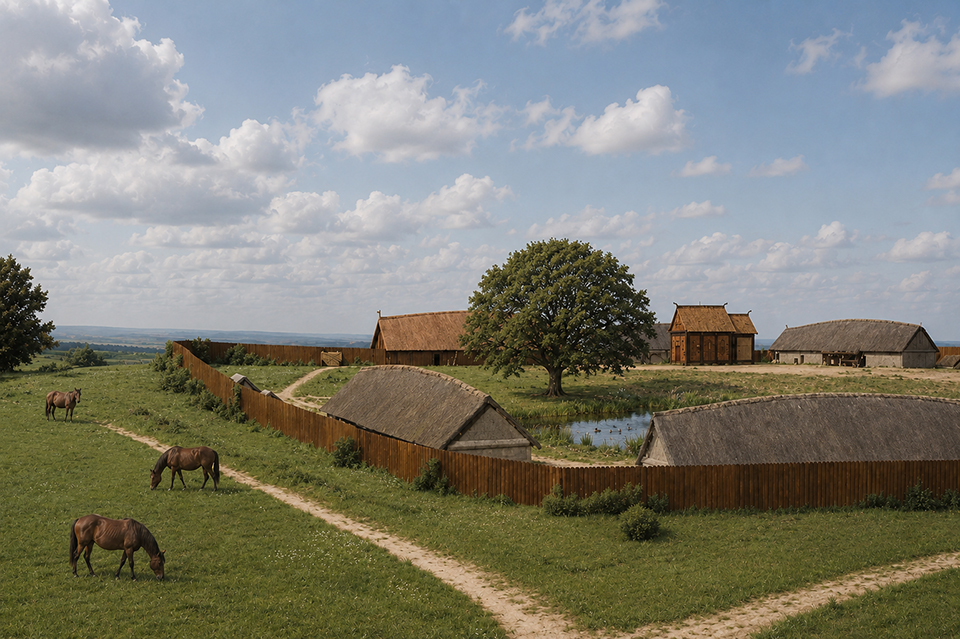
The medieval church in Lisbjerg dates to c. AD 1100 – 1150. However, a predecessor in the form of a wooden stave church was built as part of a fenced manor c. 1000 – 1100.
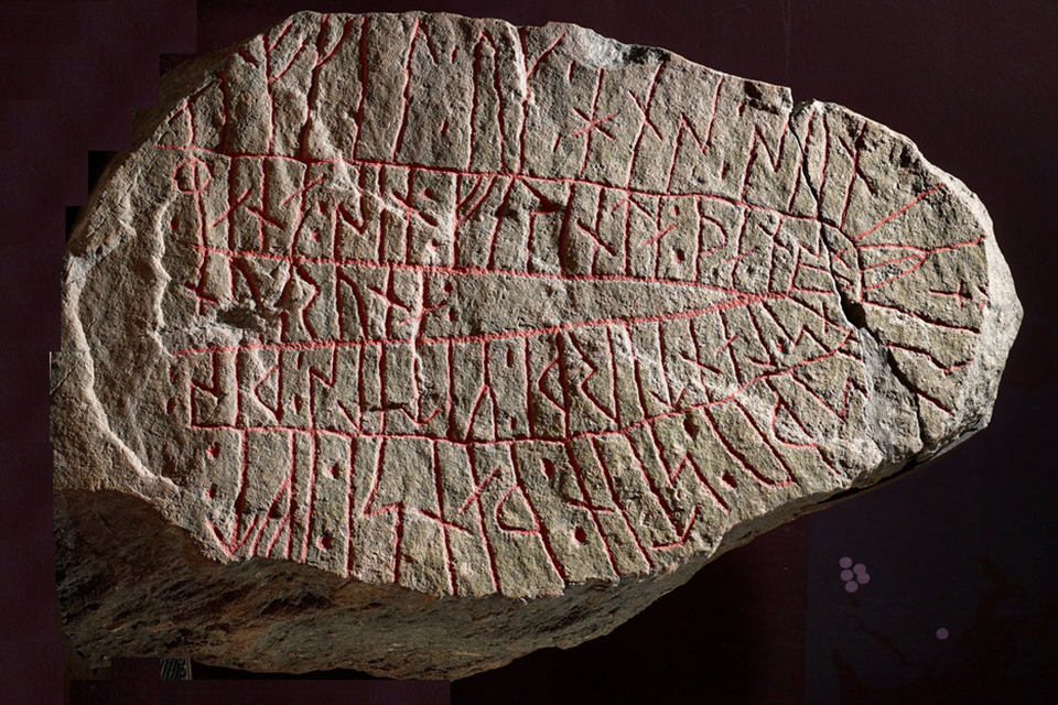
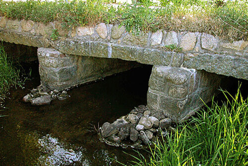
The Runic stone was discovered at the beginning of the 19th century in a dry-stone wall near the estuary of Egå, a small river north of the city of Aarhus in Eastern Jutland. Allegedly, local people said that the stone had originally stood near a bridge across the Egå. Judging by similar monuments, the runestone may have formed part of a donation to the local community, consisting of at least the monumental erection of both the bridge and the stone.
The transliteration of the Runic inscription reads:
alfkil : uk : hns : suniR : risþu : stin : þansi : ift : | : mana : sin : frinta : þans : uas : lantirþi : kitils : þis : | nuruna :
while the transcription reads:
Alfkæll ok h[a]ns syniR rēsþu stēn þannsi æft Manna, sinn frǣnda, þann’s vas landhirðiR Kætils þess norrøna.
Based on this, the official translation reads:
“Alfkell and his sons raised this stone in memory of Manni, their kinsman, who was Ketill the Norwegian’s estate steward.”
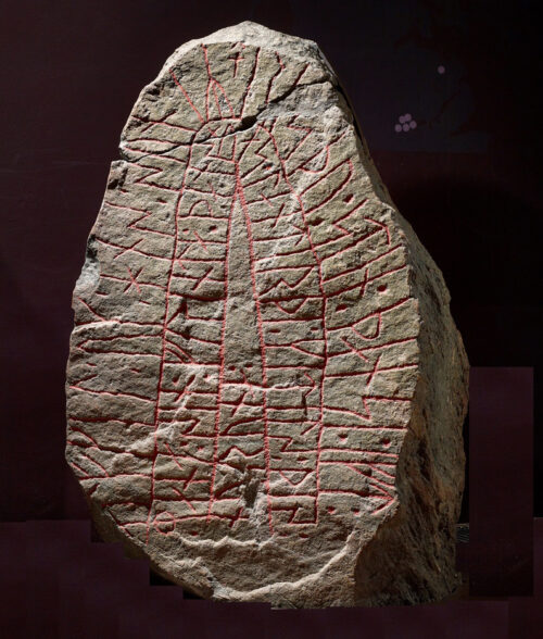
Thus, in the official translation in the database, the Old Runic word norrøna is interpreted to mean that Ketil was a Norwegian, that is, a person from Norway. However, Ketil is not described as a Norwegian; he is merely identified by the epithet norrønn (Norse). The inscription therefore does not identify him by his place of origin, which would more likely have been expressed by a form such as Noregi, as in nuruiak (Jelling Stone 2) or nuriki (Ketil Stone), both of which are understood to refer to Norway. Rather, Ketil is identified as a norrønn person. Most likely, nuruna refers to someone who spoke Old Norse rather than dansk tunga, corresponding to the explanation of norrœna, f. (3), as the Norse language. The flipped stone shown as featured photo marks the importance of the “Nuruna”-part of the inscription – as seen in the middle part. Maybe Ketil was just called his nickname?
Apart from that, we can be certain that Ketil must have been an important man. Remember that the stone, and probably also the bridge, were erected to honour his man, the steward responsible for Ketil’s estate. The word landhirðiR is also known from the stone Ravnkilde 1. Here it is plausibly indicating an estate steward. Manni may, however, have fulfilled another role, namely that of priest. The title landhirðiR is not as widely used as bruti, bryde, which apart from three Runic stones is also known from early written sources in the 11th and 12th centuries. Perhaps it is significant that the stone was carefully decorated with an early Christian cross? In addition, an early bronze cross was discovered in a grave in the burial ground excavated at Egå. The stone must have been raised around the time when Christianity was becoming more prevalent in the landscape.
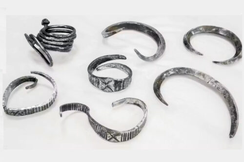
Ketil means “cauldron” or “kettle”, and it has been suggested that the name referred either to the vessel containing the sacred mead or beer, indicating a man who provided feasts. Alternatively, it has been interpreted as referring to someone wearing a kettle-shaped helmet, making it a nickname denoting a warrior. Perhaps the infamous Ketil Flatnose, who for a short time ruled the Isles, derived his name from wearing a helmet with a prominent nose guard, such as that seen on the Coppergate Helmet.
Ketil was a very common name throughout the Viking diaspora. The Icelandic Landnámabók, for instance, lists approximately forty-three different individuals named Ketil, either as a simple or compound name, indicating that it was widespread throughout the North Atlantic settlements. One Ketil, as mentioned above, became ruler of the Northern Isles (Ketil Flatnose), while another settled in Greenland, giving his name to Ketilsfjǫrðr.
In Denmark, at least fifteen place names derive from Ketil, including Ketilstorp, now known as Kelstrup. In England, about eighty people named Ketil were recorded as landowners in the Domesday Book. Approximately two-thirds of these estates were located along the eastern coast between Norwich and York, and about 85 per cent are known to pre-date the Norman Conquest. The name was also not uncommon in Normandy, where at least ten place names incorporate Ketil, for example Quettehou on the Cotentin Peninsula. In short, the name was ubiquitous.
Thus, Ketil of Egå may have come from Norway, Iceland, or even Greenland, but he might equally well have originated in the British Isles or Normandy. Accordingly, we refer to him here as Ketil the Northman. The fact remains, however, that he spoke nuruna or norrœna.
We have absolutely no way of identifying the lord of the manor at Lisbjerg as identical to Ketil the Northman.
It is intriguing, though, that Lisbjerg has been archaeologically documented as
Approaches to the study of linguistic identity in the Viking Age
By Eldar Heide
Unpublished manuscript for the seminar Migration And Transcultural Identities In The Viking Age , University of Nottingham, march 3 – april 1, 2006.
Tradition and Innovation: the Function of Ambiguity in the Three Scandinavian Runic Conversion Monuments.
By Arne Kruse. In: Scandinavia Refracted: A Festschrift in Honour of Bjarne Thorup Thomsen. Ed. by Giles, Ian. Edinburgh (2022).
(3) A Concise Dictionary of Old Icelandic. By Geir T. Zoëga. Oxford University Press 1910: and ONP: Dictionary of Old Norse Prose, University of Copenhagen: norrǿna
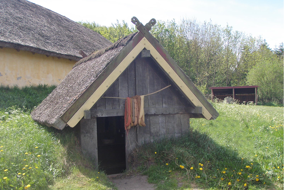
A new excavation at Søften, near Lisbjerg, has revealed an extensive production environment that may have supplied Viking Age Aarhus with textiles and other craft products.
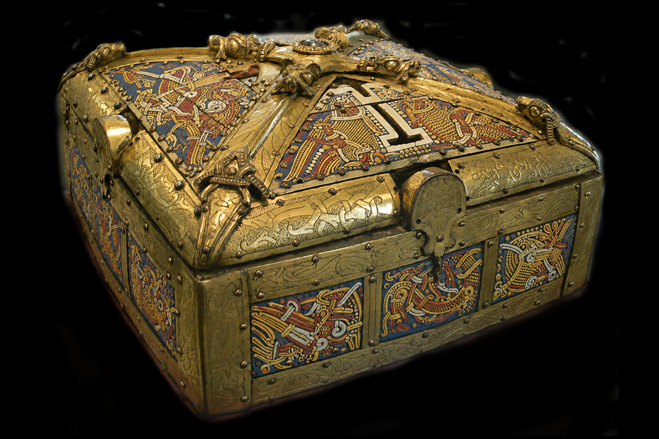
Could the Bamberg Shrine have been a diplomatic gift presented to Otto the Great by the emissaries of the Danish king at Quedlinburg in AD 973?
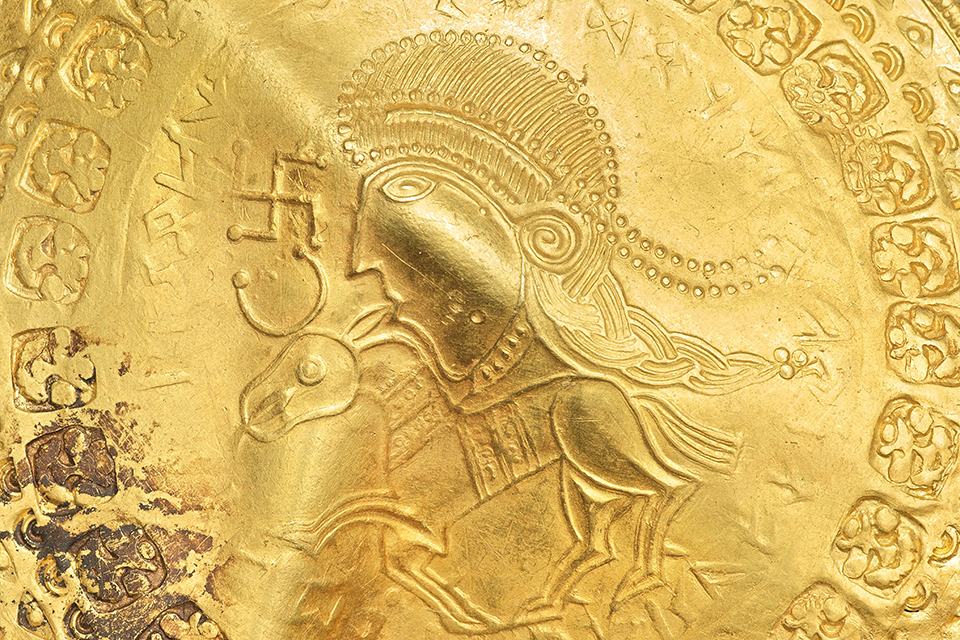
The village of Vindelev in Eastern Jutland was presumably a gift to a Vendish military commander, who operated east of Vejle in the middle of the 400s. An impressive gold hoard opens up the world, in which he lived.